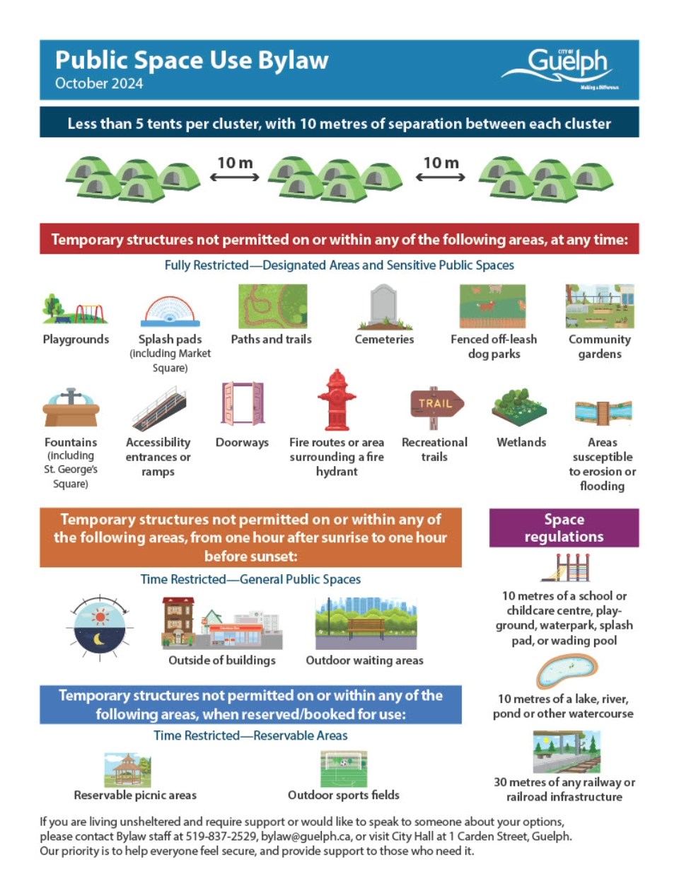
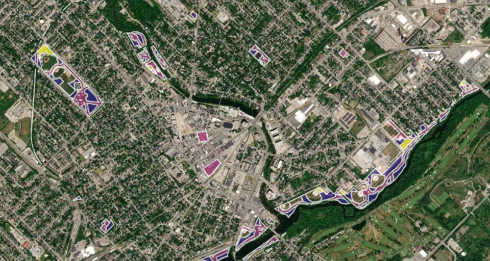
In an effort to avoid confusion about where encampments are allowed on city property, a map showing potentially permissible tent spots has been taken down.
The map was released in September, ahead of the council-approved public space use bylaw coming into effect on Oct. 1, as a guideline for people to use when considering where encampments are allowed outright, prohibited and allowed when specific conditions are met.
Since then, the map has prompted concerns from numerous residents throughout the city, as well as the Upper Grand District School Board, about the potential for encampments in their neighbourhoods.
“The map was initially created as a visual demonstration tool and was not intended as a complete representation of the bylaw or part of the bylaw itself,” explained deputy CAO Colleen Clack-Bush via email. “As the map did not override any provision of the bylaw, removing the map helps to mitigate any potential confusion or uncertainty that may arise between the map and the bylaw itself.”
In place of the map, city staff has prepared an info graphic meant to help encampment residents and others decide where encampments are allowed to be. But in the end, people are directed to the 13-page the bylaw itself.
“Our bylaw staff and support agencies are committed to working together with residents whose encampments may be in violation to help them relocate to a more suitable location,” she wrote. "Our bylaw officers, along with our support agencies, will continue to work with any individuals whose sheltering options may be impacted by the new bylaw.
"The infographic is there to help show the parameters of the new bylaw and provide some at-a-glance guidance; when working with individuals directly, bylaw staff will provide this as a handout (with support agency information on the reverse side) and refer to the bylaw itself as the official resource as to where encampments can relocate."

