NEWS RELEASE
GRAND RIVER CONSERVATION AUTHORITY
*************************
Snow and cold temperatures associated with recent weather events over the past few weeks created a significant amount of frazil ice in the river system and have increased the risk of ice jams on local waterways.
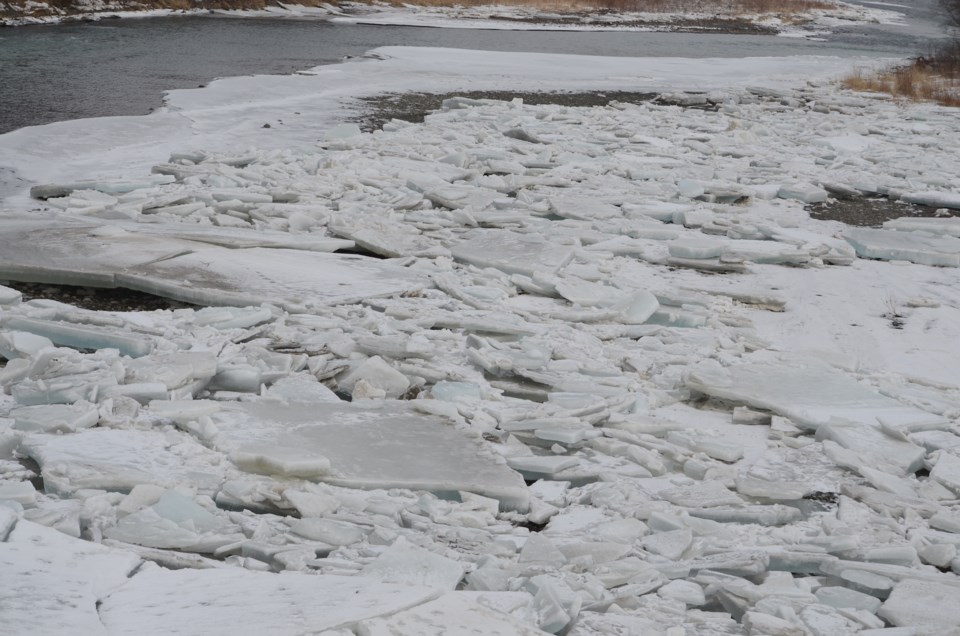
Frazil ice jams have formed in a number of areas in the northern and central portions of the Grand River watershed including West Montrose, Cambridge, and Brantford. These ice jams are generally weaker than those that formed in early February, however do still pose a heightened risk of flooding in these communities.
Woolwich flood coordinators are advised to monitor conditions in Flood Zone 1 in West Montrose due to the potential for flooding in low-lying areas.
More stable ice jams, which set up earlier in February, remain in place in the communities of Cayuga, Caledonia and Brantford as well as through Six Nations Territory.
Frazil ice can turn waterways into a thick slush. When water becomes super-cooled, ice crystals build up very rapidly and can stick to ice sheets and broken ice in the water. As frazil ice builds it fills the river channel with slush. Frazil ice jams will continue to build upstream as the river channel fills in with slush. When a frazil ice jam forms, water may flow around the jam into low-lying areas of the floodplain. River flows at the current time are low, helping reduce the risk of flooding.
Frazil ice in local waterways may increase the risk of more severe flooding when another snowmelt event occurs, depending upon how quickly that event unfolds.
Due to the current watershed conditions, residents who live in areas prone to ice jam flooding are advised to remain cautious as ice jams can form quickly and without warning. In the event of an ice jam, follow the direction of municipal flood coordinators and first responders.
Extremely cold overnight temperatures are forecast to persist into next week. These conditions have the potential to increase frazil ice generation in the river system and further increase the ice jam risk.
The public is reminded to exercise extreme caution and stay off all water bodies at this time. Ice cover, where it exists, will be weakened as a result of the warming trend. Banks adjacent to rivers and creeks are very slippery and, when combined with cold, fast-moving water, pose a serious hazard. Parents are encouraged to keep their children and pets away from all watercourses and off of frozen water bodies.
This message will remain in effect until Friday, March 8, 2019. Updated flood messages will be issued if necessary as conditions change.
*************************
